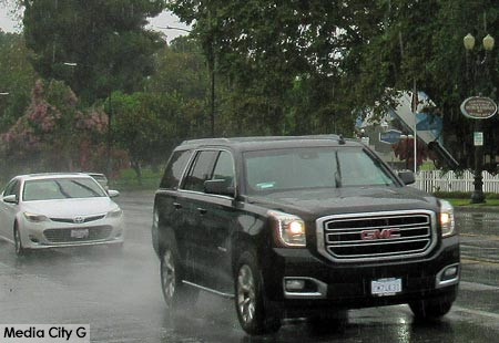
Remnants of tropical storm Hilary are wreaking havoc on the Pacific Northwest today after barreling thorough Southern California yesterday. Waves and waves of heavy rain pounded our region from Sunday morning until well past midnight, leaving behind mudslides, flash floods, and some power outages. It is the first tropical storm to hit the Southland in 84 years!
Hilary churned in the warm waters off the coast of Mexico before strengthening into a category 4 hurricane on Friday. The powerful storm began its trek northward packing powerful winds of at least 130 miles an hour and tons of rain. On Saturday, one death was blamed on massive flooding from the storm in the Mexican town of Santa Rosalia. By the time Hilary rolled across the U.S. Mexican border into California Sunday, it had weakened to a tropical storm. However, the storm was a still a serious threat when it moved up the coast to San Diego and the Southland.
Hilary dumped an incredible amount of rain many places. August is typically the driest month in Southern California. Over the weekend, the National Weather Service says Burbank got 3.56 inches, Van Nuys 4.7 inches, and Saugus 6.46. In Downtown Los Angeles, 2.48 inches of rainfall yesterday. This makes it the wettest August day ever in that area. The previous record was on set on August 17, 1977 when 2.06 inches of rain fell.


